An independent atlas of discoveryLooking back. Finding a way forward.
Old maps.
New ways of seeing.
The world wasn’t always a known place.
Explore the maps, the blank spaces,
and the
stories in between.
From the collection74° N / 95° W
01 / The Arctic collection A world of possibilities.
A world of possibilities.
And very few certainties.
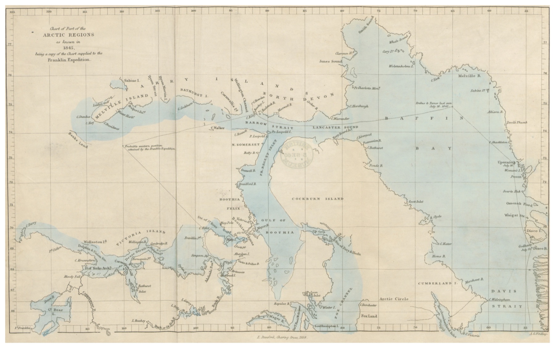
The Arctic, as known in 1845 · John Brown’s chart, published 1858One map. A beginning.
A map is more than a place.
It’s a picture of what we believed.
We bring old maps into the present, preserving their beautiful details, their uncertainties, and
even their mistakes.Meet Mapanaut
Find your bearings
Curiosity is the common threadThree ways to explore.
THE ATLAS / 001+The atlas
Look closer. Explore historical charts and the knowledge held in every line.
What would you have done?EXPEDITION / 1848
The expeditions
Step into the unknown. A historical simulation shaped by what you don’t know.
AaTHE WORKSHOP / SCAN → DATA
The workshop
From engraved ink to living data. See how a historical map becomes digital.
Notes from the margins
All field notes A closer look.
01 / Reading a map · 4 min read “As known in 1845.”
“As known in 1845.”
Five words that change the map.
A coastline is a claim. A blank space is a question. Our first chart is a record of both.
Read the storyFor the love of maps.
A growing collection. An ongoing experiment.
You’re here at the beginning.